
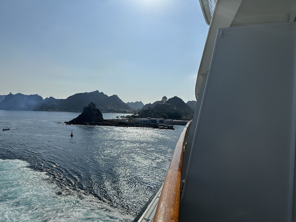
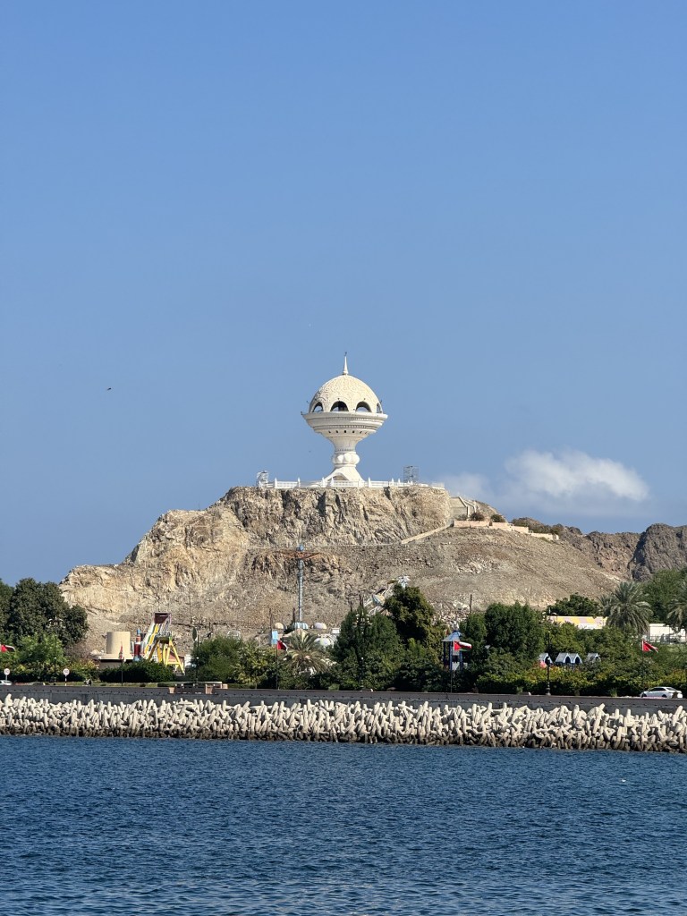
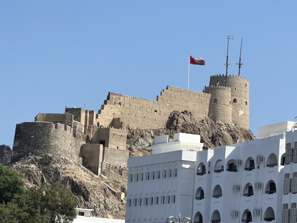
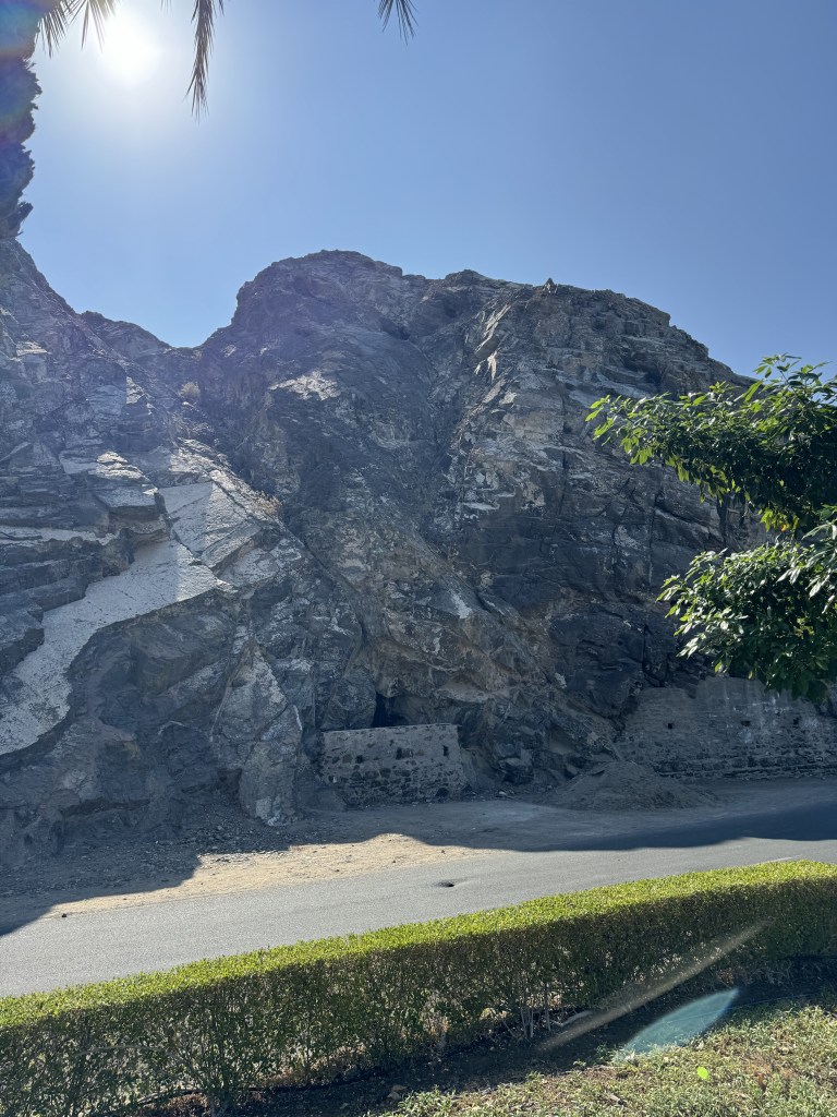
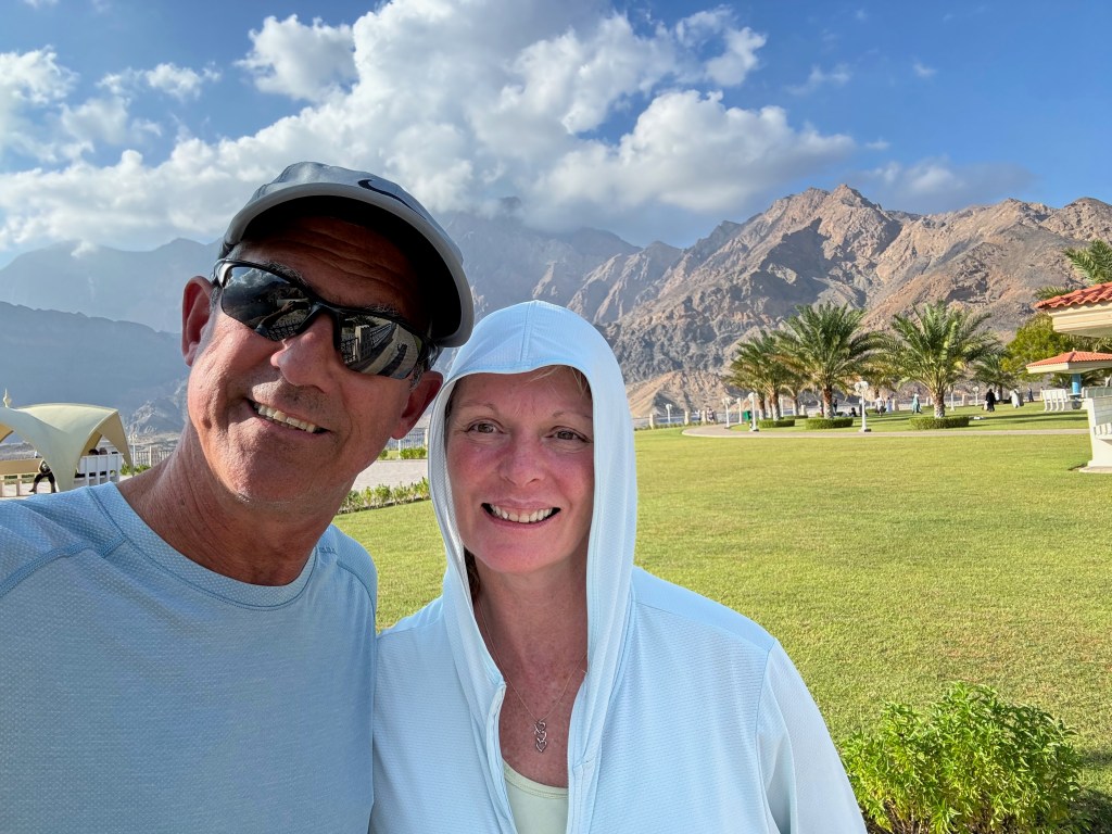
Muscat is Oman’s port capital found on the Gulf of Oman within the Arabian Sea and close in proximity to the strategic Straits of Hormuz. It Is surrounded by mountains and desert with the Hajar mountains dominating its landscape. Muscat’s economy is primarily by trade, petroleum, liquified natural gas and mineral export. Muscat has been ruled by various indigenous tribes as well as foreign powers such as the Persians, the Portuguese Empire and the Ottoman Empire at various points in its history. indicated by clifftop landmarks such as the 16th-century Portuguese forts, Al Jalali and Mirani, looming over Muscat Harbor and many watch towers along its coast.
We spent two days in Muscat due to a change in our itinerary (our stops in Egypt and Jordan were cancelled because of the unrest in Israel.
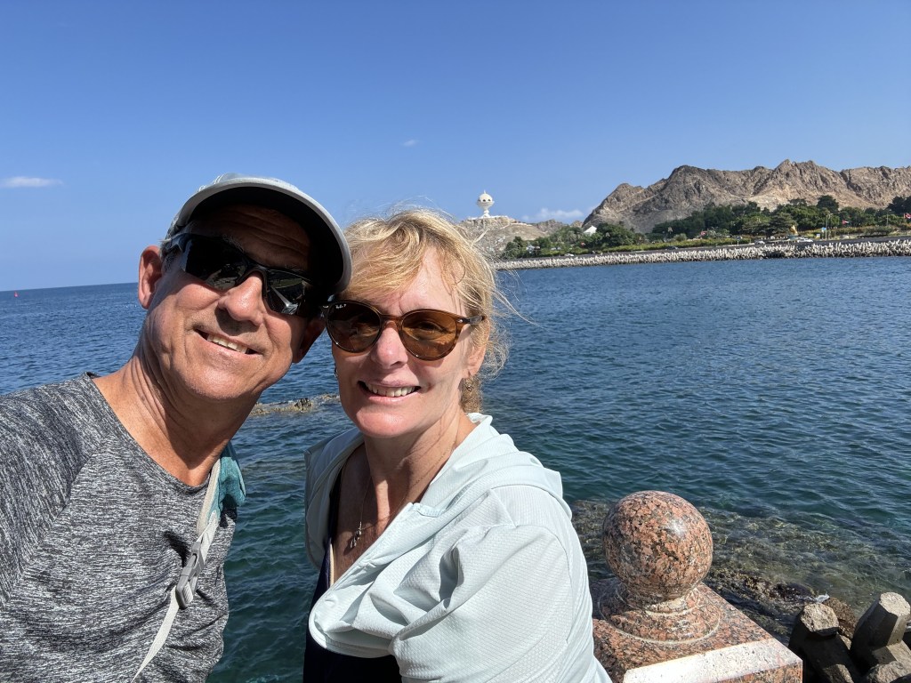
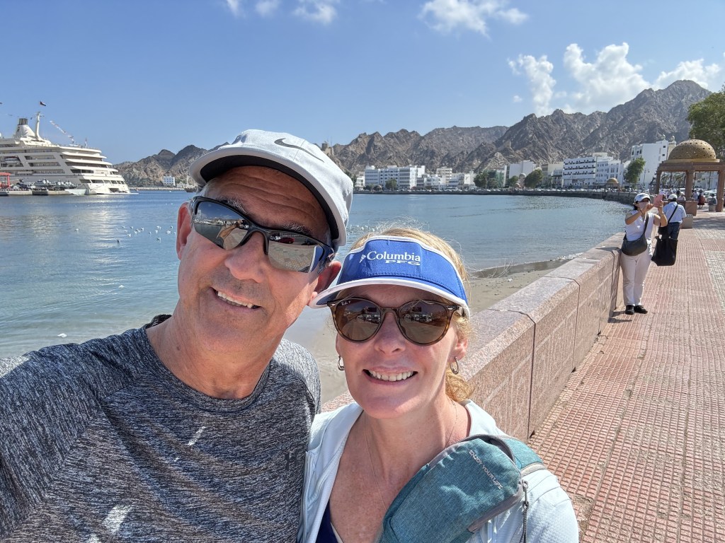
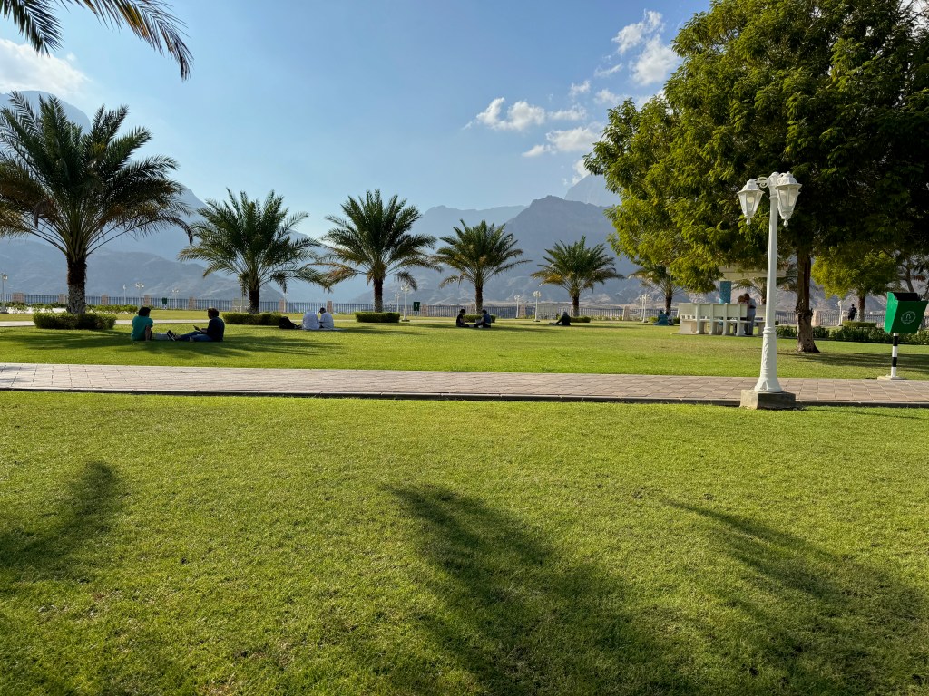
Our first day was spent exploring the port area of Mutrah. We strolled along the Mutrah Corniche which stretches for 3 kilometres along the waterfront and is lined with international restaurants, traditional cafes and markets. We walked past the Mutrah Fort built in the late 16th century by occupying Portuguese forces and on through some beautiful parks. In one park beside the sea we were fortunate enough to see two beautiful sea turtles playing in the water but not quick enough to catch a photo of them.
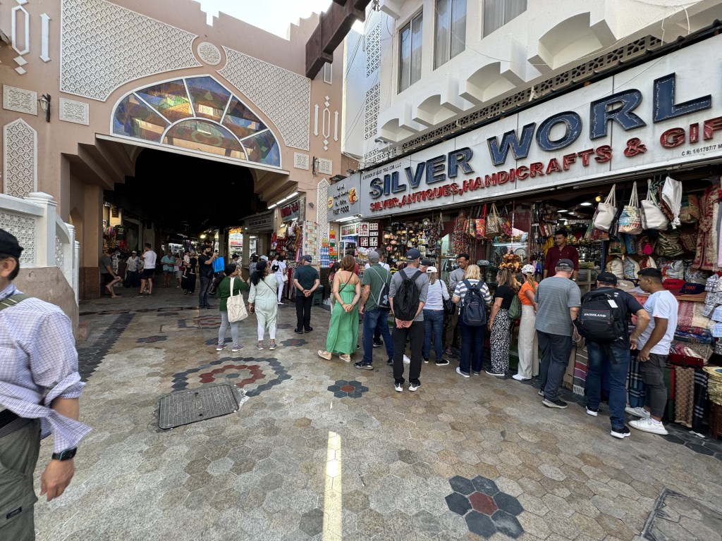
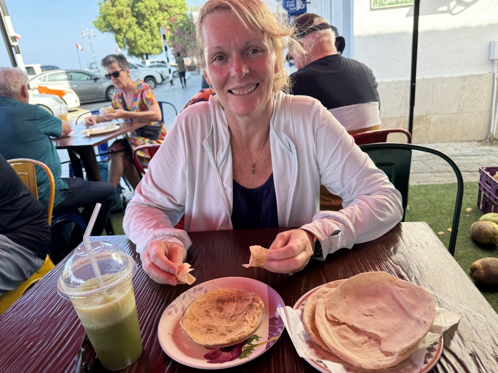
On our way back we ventured into the Mutrah Souk. This is a fascinating maze of fragrant alleyways where you see antique treasures, precious gems, souvenirs and rare Asian spices around every corner. Every store owner trying to get your attention and entice you into their store. We then stopped for a drink and a snack of hummus and pita.

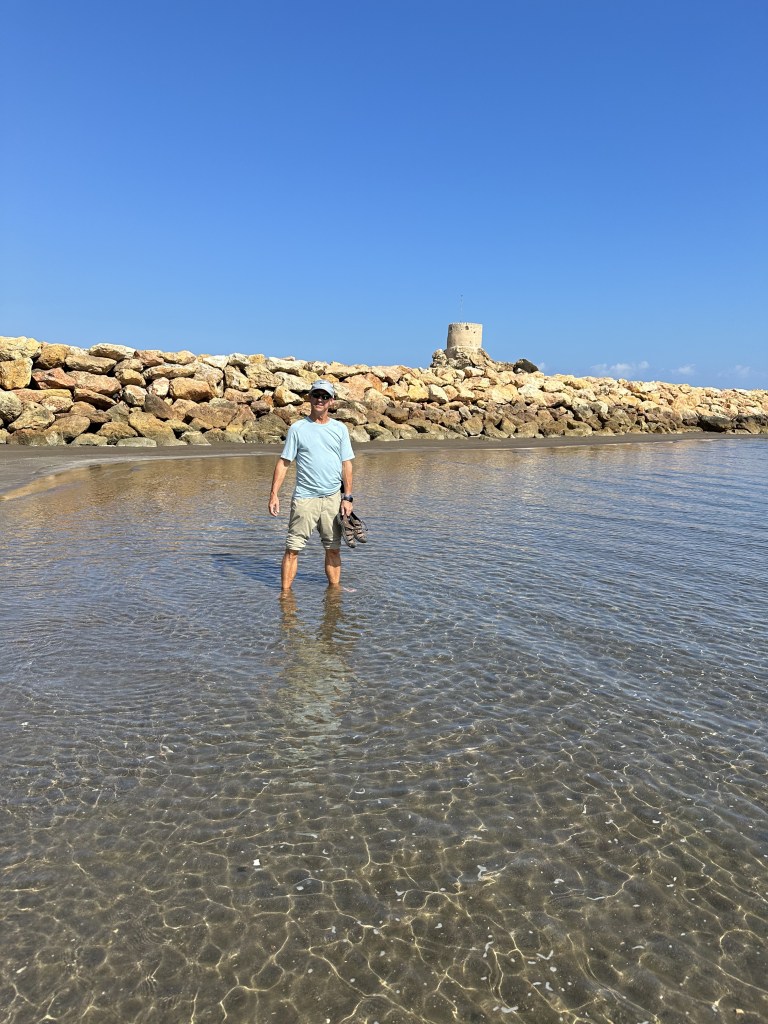
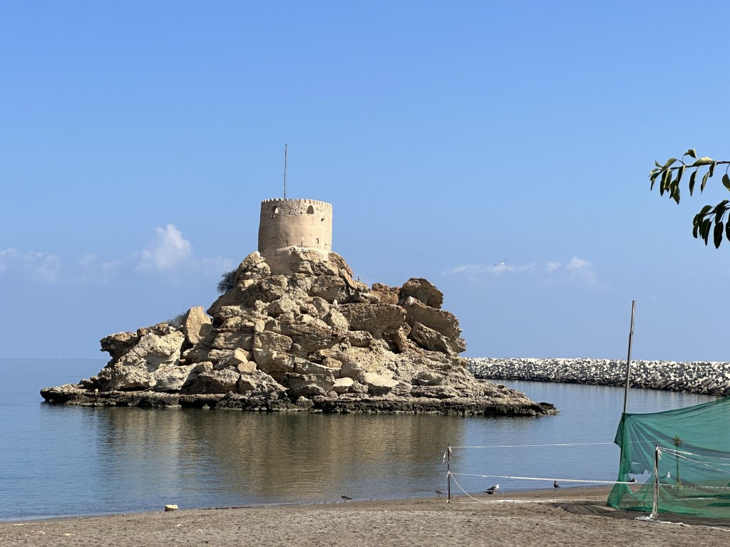
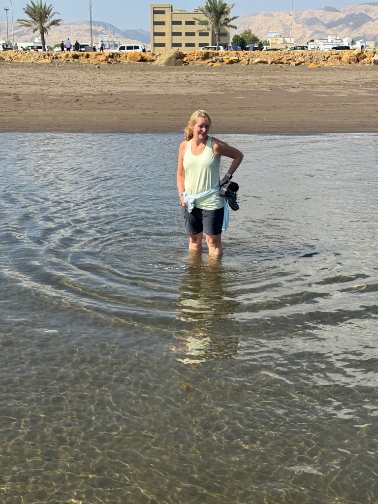
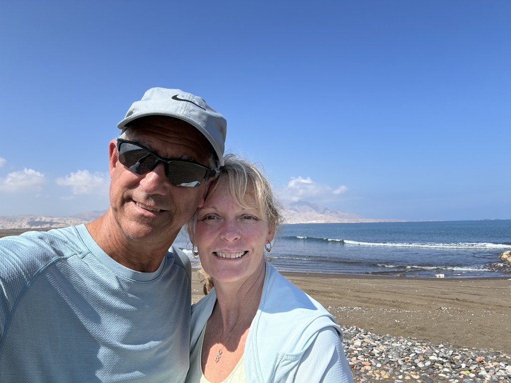
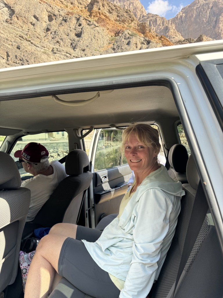
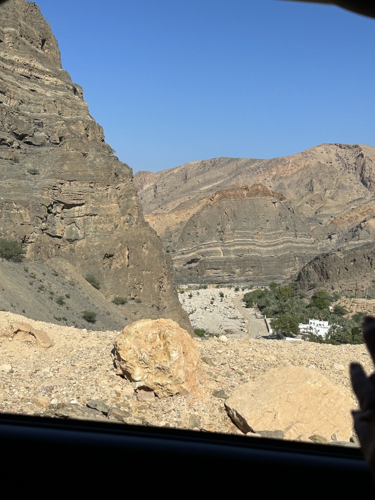
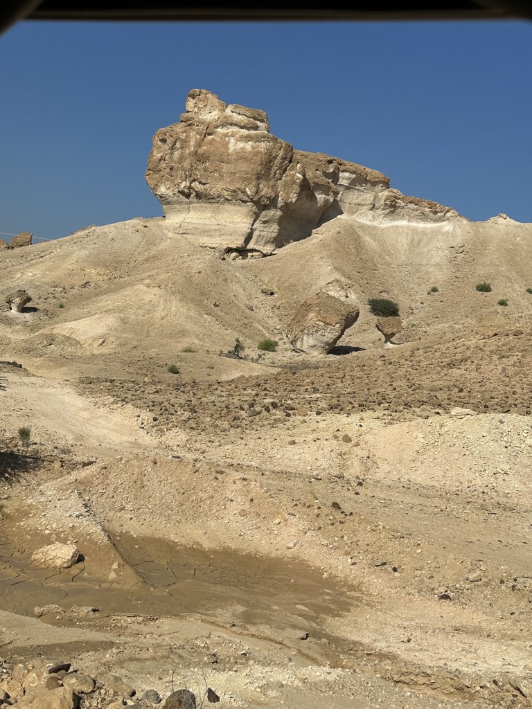
For the second day we booked an excursion that took us on a road that carved through the Al Hagar mountains out to the coast where we stopped at Quriyat, a small fishing village. Quriyat is situated between the Gulf of Oman and the eastern Al Hajar mountains. Here we visited As’ Sirah Fort Park where there was a historical Portuguese watchtower and a beautiful stretch of beach.
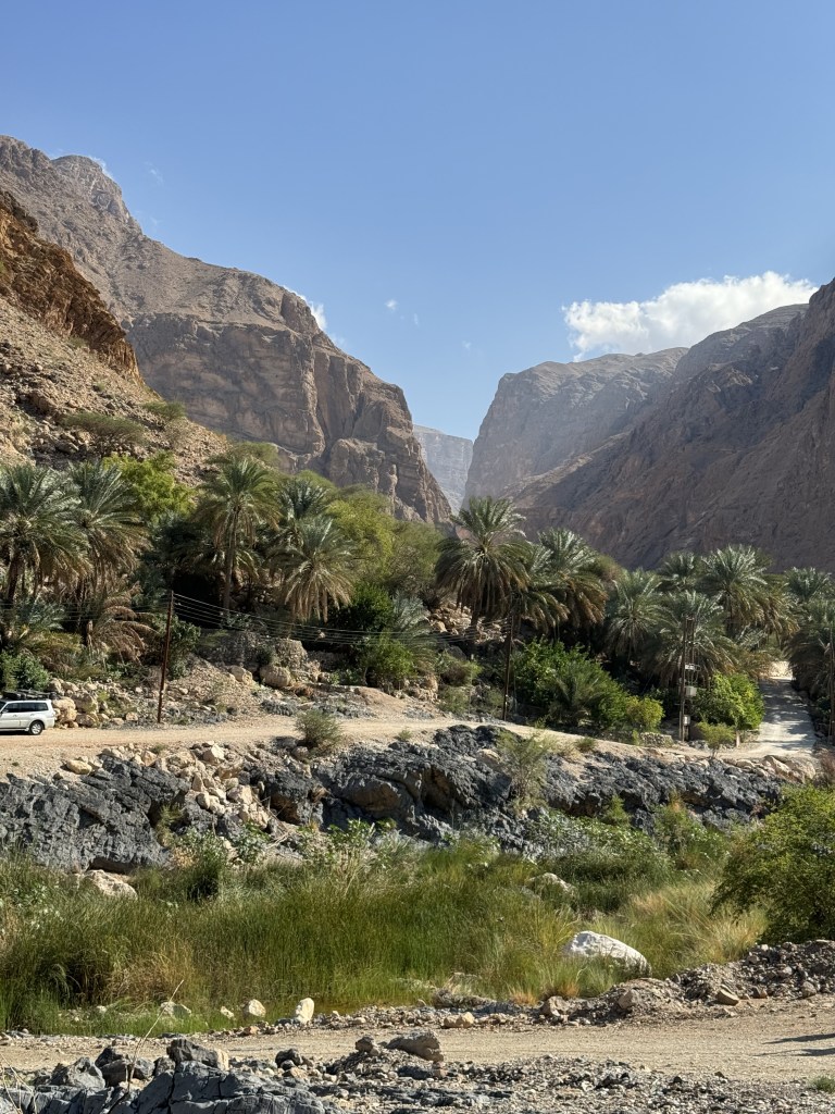
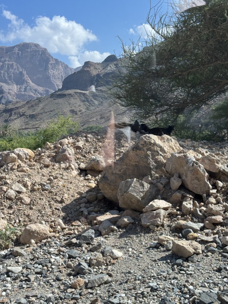
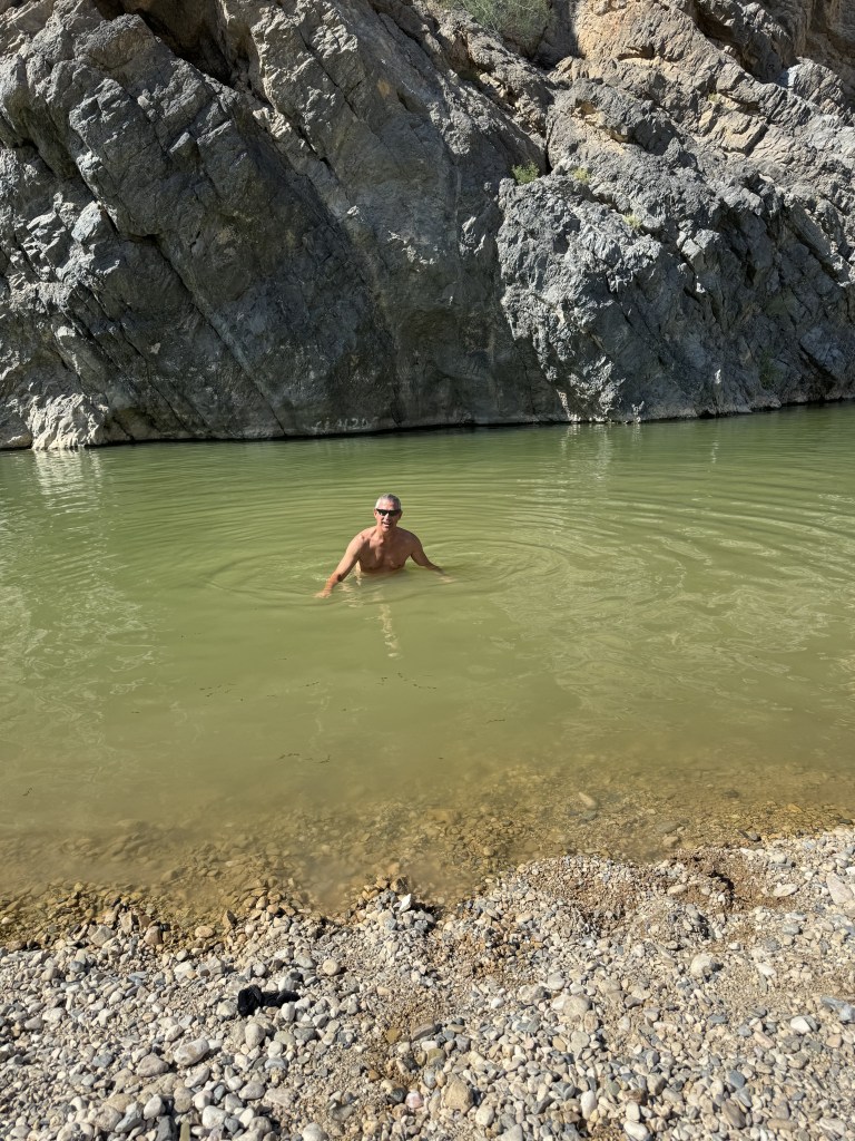
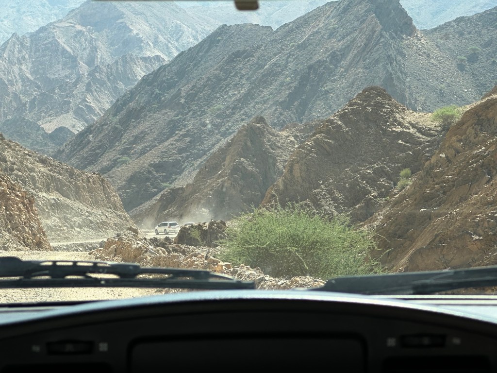
From here we started our bumpy off-road drive along the coast and then up through the mountains. As we started on the dirt road our driver spotted some camel and stopped so we could take a picture of them. Our next stop would be at Wadi Al Arbaeen. A wadi is a dried river bed in the valley of the mountains. Wadi Al Arbaeen is declared one of the most beautiful wadis in the Sultanate, experiencing a constant flow of spring water from the eastern Hajar Mountains and providing a source of irrigation to the surrounding villages and date palm farms. We were able to swim here. The water was not as crystal blue as shown in the photos but murkier with little fish that like to clean the skin on your feet.
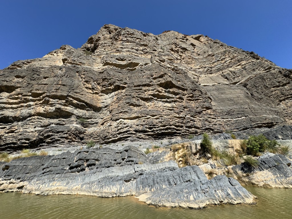
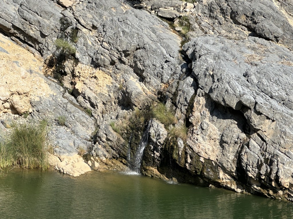
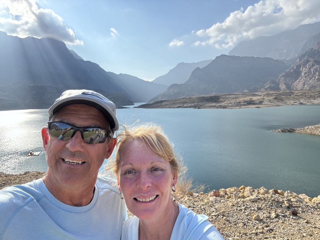
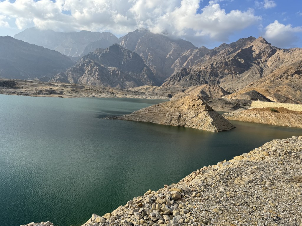
A quick drive from here took us to a small waterfall for a photo stop and then on to the Wadi Dayqah Dam. This is the largest dam in the Arabian Peninsula. Dayqah Damm was built in 2012 to collect the rain falling from the high peaks and to control the water flowing through to the villages below. The result is a stunning fresh water lake and river which extends 7 km from the main body of the dam. The panoramic view of the mountains reflected in the plate-glass-like water is a rare sight in the desert. The road winding up to the reservoir has been pleasantly landscaped into a park where we stopped to have our lunch.

Hi,
<
div>Sounds like you have been doing lots of exploring
LikeLike